|
Terug |
 Maps, plans and topographic paintings and their role in Dutch overseas expansion
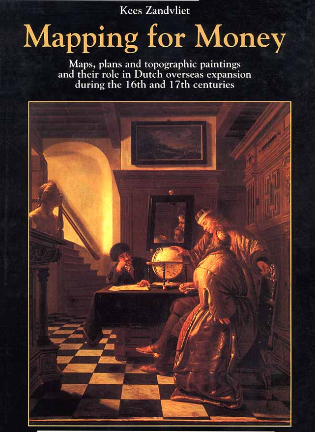
This study aims to give a better understanding of the role played by maps and mapmakers during the first century of Dutch overseas expansion and specifically to see how the Dutch companies organized the mapmaking function into their set of management tools. The departure point was an examination of the extent to which Dutch practices were influenced by developments in other countries, especially Portugal and Spain, but also England and Flanders. Maps and globes were important tools for successful overseas expansion and to represent that same expansion. The various types of maps enabled directors to make decisions about fortifications and townplanning, enabled captains to sail their ships as quickly and safely as possible, and enabled governors to exploit agricultural areas. |
||
| Titel | Mapping for Money |
|
| Ondertitel | Maps, plans and topographic paintings and their role in Dutch overseas expansion | |
| Auteur | dr. Kees Zandvliet | |
| Rubriek | Internationaal | |
| Omvang | 328 Pagina's | |
| Formaat | 32 x 33,5 cm | |
| Uitvoering | Gebonden, geïllustreerd | |
| Prijs | € 43,00 | |
| ISBN | 978 90 6707 550 3 | |
| Status | Bijna uitverkocht | |
Terug